Find results that contain all of your keywords. Content filter is on.
Search will return best illustrations, stock vectors and clipart.
Choose orientation:
Make it so!
You have chosen to exclude "" from your results.
Choose orientation:
Explore cartoons & images using related keywords:
poland
cartography
map
vector
geography
symbol
illustration
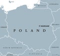
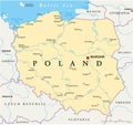
concept icon border outline simplicity contour art division isolated polish country national background europe chart connection creativity data elearning education exploration global graphic ideas internet journey learning nation silhouette studying topography transportation union world administrative cities direction abstract antique businessPoland Political Map With Capital Warsaw, National Borders, Most Important Cities And Rivers Cartoon Vector
Designed by
Title
Poland Political Map with capital Warsaw, national borders, most important cities and rivers #216471955
Description


