Search
(+)
cartoon
dealer
buy stock illustrations
Home
My rookie portfolio
📷 Upload yours 🤳
Find results that contain
all
of your keywords. Content filter is
on
. Search will return
best illustrations, stock vectors and clipart
.
Exclude
Make it so!
You have chosen to exclude "
" from your results.
Choose orientation:
Explore cartoons & images using related keywords:
america
american
cap
cities
city
cloud
concept
conceptual
country
design
honduran
honduras
illustration
keywords
map
maps
outline
politics
stylized
tagcloud
tags
text
travel
vector
word
wordcloud
words
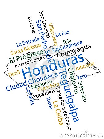
Honduras Map And Cities Cartoon Vector
Download
Designed by
Maigi
Title
Honduras Map and Cities #22525511
Description
Honduran map and words cloud with larger cities
Verctor Map of cities and roads in Honduras.
The detailed map of Honduras with regions or states and cities, capital. Administrative division.
Vector map of Honduras. High detailed country map with division, cities and capital Tegucigalpa. Political map, world map,
Honduras map with cities.
Stylized map of Honduras. Isometric 3D
Honduras map and list of cities word cloud concept
Honduras higt detailed map with subdivisions. Administrative map of Honduras with districts and cities name, colored by states and
Tagcloud of the most populous cities in Honduras
Honduras - detailed blue country map with cities, regions, location on world map and globe. Infographic icons
Honduras - detailed country map with cities and regions. Infographic icons
Detailed editable vector map of Honduras on French language
Honduras Political Map with capital Tegucigalpa, most important cities and national borders
Exploring the Urban Landscapes of Honduras Bay Islands Roatn Guanaja and tilas Unique Cityscapes