Search
(+)
cartoon
dealer
buy stock illustrations
Home
My rookie portfolio
📷 Upload yours 🤳
Find results that contain
all
of your keywords. Content filter is
on
. Search will return
best illustrations, stock vectors and clipart
.
Exclude
Make it so!
You have chosen to exclude "
" from your results.
Choose orientation:
Explore cartoons & images using related keywords:
north
west
administrative
amsterdam
arnhem
assen
atlas
background
belgium
borders
boundary
breda
brussels
cities
community
contour
countries
cut
detail
district
dutch
eindhoven
enschede
euro
europe
european
france
frisian
geography
germany
groningen
hague
heerenveen
holland
illustration
islands
land
map
nation
netherlands
nijmegen
outline
province
realm
rotterdam
sea
silhouette
state
tilbur
union
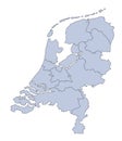
Netherlands Map Vector Illustration
Download
Designed by
Bogdanserban
Title
Netherlands map #27769002
Description
Highly detailed vector map of Netherlands with administrative regions,main cities and roads.
Map Netherlands
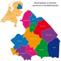
Drenthe - province of the Netherlands
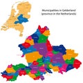
Gelderland - province of the Netherlands
Zealand - province of the Netherlands
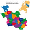
Overijssel - province of the Netherlands
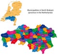
North Brabant - province of the Netherlands
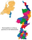
Limburg - province of the Netherlands
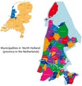
North Holland - province of the Netherlands
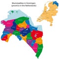
Groningen - province of the Netherlands
South Holland - province of the Netherlands
Utrecht - province of the Netherlands
Netherlands world map with a pixel diamond texture.
Travel Netherlands destination landmarks skyline background
Netherlands Political Map
Amsterdam Netherlands detailed vector skyline
Amsterdam netherlands skyline black isolated vector