Find results that contain all of your keywords. Content filter is on.
Search will return best illustrations, stock vectors and clipart.
Choose orientation:
Make it so!
You have chosen to exclude "" from your results.
Choose orientation:
Explore cartoons & images using related keywords:
gis
geospatial
mountain
lidar
map
model
elevation
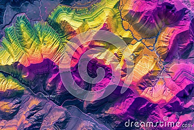
cartography topographic geology data aerial survey geographic peak alpine birds eye construction digital drone earth elevate engineer engineering esri extreme terrain information system glacier hypsometric ice inspection investigation land laser mapping maps nature reserve orthorectified photogrammetry planet rock scan surveying technology top topographyMap Of A Mountain Peaks And Tops With Coloured Geospatial Data For GIS Usage Royalty-Free Stock Image
Designed by
Title
Map of a mountain peaks and tops with coloured geospatial data for GIS usage #305203498
Description


