Find results that contain all of your keywords. Content filter is on.
Search will return best illustrations, stock vectors and clipart.
Choose orientation:
Make it so!
You have chosen to exclude "" from your results.
Choose orientation:
Explore cartoons & images using related keywords:
2020
united
states
census
administrative
america
american
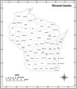
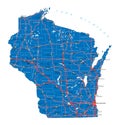
area atlas border boundaries capital cartography city colorful congressional districts counties country county design detailed district division election federal flag geography icon infographic land madison map milwaukee neighbouring political province region state subdivision territory tourism travel trip usa vector wisconsin borders colored validWisconsin State Map With Counties Borders And Colored Congressional Districts Boundaries Vector Illustration
Designed by
Title
Wisconsin state map with counties borders and colored congressional districts boundaries #328186910
Description


