Search
(+)
cartoon
dealer
buy stock illustrations
Home
My rookie portfolio
📷 Upload yours 🤳
Find results that contain
all
of your keywords. Content filter is
on
. Search will return
best illustrations, stock vectors and clipart
.
Exclude
Make it so!
You have chosen to exclude "
" from your results.
Choose orientation:
Explore cartoons & images using related keywords:
art
atlas
background
bay
belorussia
blue
border
british
cartography
clip
continent
country
design
earth
eire
england
estonia
europe
european
finland
geography
germany
green
gulf
illustration
image
ireland
island
land
latvia
lithuania
map
national
north
norway
ocean
painting
pattern
people
poland
russia
scotland
sea
strait
sweden
topography
travel
ukraine
world
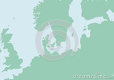
Map Of North Europe Cartoon Vector
Download
Designed by
Lillia
Title
Map of North Europe #4988233
Description
Map of North Europe with Baltic sea
Old map of North Europe
North europe - maps of territories - vector
North Europe
Counties of North Europe
North Europe People, Customs Vector Illustration
Map of World. Political map divided to six continents - North America, South America, Africa, Europe, Asia and Australia
North Europe Region. Map of countries of Scandinavia. Vector illustration
North Europe at night
North Europe and Russia
North Europe map background
World Map of ICELAND: Iceland, Scandinavia, North Europe, Atlantic Ocean. Geographic chart.
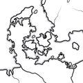
World Map of DENMARK: Denmark, Jutland, Zealand, Scandinavia, North Europe, North Sea. Geographic chart.
Print. Vector map of the world with cartoon animals for kids.
North Europe air view