Search
(+)
cartoon
dealer
buy stock illustrations
Home
My rookie portfolio
📷 Upload yours 🤳
Find results that contain
all
of your keywords. Content filter is
on
. Search will return
best illustrations, stock vectors and clipart
.
Exclude
Make it so!
You have chosen to exclude "
" from your results.
Choose orientation:
Explore cartoons & images using related keywords:
adventure
ancient
antique
art
background
baltic
britain
brown
cartography
chart
compass
cruise
design
direction
dirty
discovery
east
england
europe
exploration
geography
great
grunge
illustration
island
journey
land
map
nautical
north
obsolete
old
painting
paper
past
pirate
retro
revival
rose
sailing
scroll
sea
south
topography
travel
treasure
vector
west
wind
world
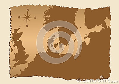
Old Map Of North Europe Cartoon Vector
Download
Designed by
Lillia
Title
Old map of North Europe #5445049
Description
Old map of North Europe with Baltic sea
Map of North Europe
North europe - maps of territories - vector
North Europe
Counties of North Europe
North Europe People, Customs Vector Illustration
Map of World. Political map divided to six continents - North America, South America, Africa, Europe, Asia and Australia
North Europe Region. Map of countries of Scandinavia. Vector illustration
North Europe at night
North Europe and Russia
North Europe map background
World Map of ICELAND: Iceland, Scandinavia, North Europe, Atlantic Ocean. Geographic chart.
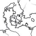
World Map of DENMARK: Denmark, Jutland, Zealand, Scandinavia, North Europe, North Sea. Geographic chart.
Print. Vector map of the world with cartoon animals for kids.
North Europe at night