Find results that contain all of your keywords. Content filter is on.
Search will return best illustrations, stock vectors and clipart.
Choose orientation:
Make it so!
You have chosen to exclude "" from your results.
Choose orientation:
Explore cartoons & images using related keywords:
2008
abhazia
abkhazia
boundries
boundry
census
country
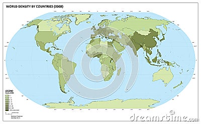
coutries cover data degree density drawn edit eps format geography ial illustration inhabitant isolate isolated kosovo land latitudine legend line longitude map meridian modify number ocean population projection robinson shape worldWorld Population Density Map Vector Illustration
Designed by
Title
World population density map #6742086
Description


