Search
(+)
cartoon
dealer
buy stock illustrations
Home
My rookie portfolio
📷 Upload yours 🤳
Find results that contain
all
of your keywords. Content filter is
on
. Search will return
best illustrations, stock vectors and clipart
.
Exclude
Make it so!
You have chosen to exclude "
" from your results.
Choose orientation:
Explore cartoons & images using related keywords:
africa
america
asia
background
blank
border
borders
boundaries
chart
countries
country
data
destination
destinations
earth
edit
editable
education
eps
europe
frontier
frontiers
geographic
geography
global
globe
high
map
north
ocean
oceania
oceans
pixel
presentation
quality
resolution
scheme
south
state
states
statistic
statistics
travel
vector
vectorial
vectors
wallpaper
world
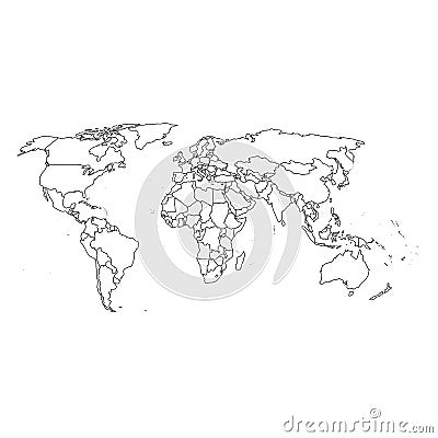
Detailed World Map And Borders Cartoon Vector
Download
Designed by
Ashestosky
Title
Detailed world map and borders #6986921
Description
Top quality vectorial world map with boundaries of all states
Detailed World Map with all Names of Countries
Colorful World political map with labeling.
Vector high detailed world map
Highly detailed World Map and navigation icons
Detailed World map standard time zones
Detailed political world map with capitals, rivers and lakes
Vector high detailed world political map with countries and oceans
Large detailed vintage color political World Map with lakes and
Detailed World Map spot colored illustration
Detailed world map with borders, countries and cities
World Map Detailed Political Map
Political World map in Mercator projection.
World Map Political and Flags - Vector Detailed Illustration
World Map Vintage Ancient Cartoon - Vector Illustration. Sepia Colors