Search
(+)
cartoon
dealer
buy stock illustrations
Home
My rookie portfolio
📷 Upload yours 🤳
Find results that contain
all
of your keywords. Content filter is
on
. Search will return
best illustrations, stock vectors and clipart
.
Exclude
Make it so!
You have chosen to exclude "
" from your results.
Choose orientation:
Related commercial searches:
mediterranean
sea
region
political
map
colored
detailed
vector
asia
pacific
new
england
united
states
gray
twenty
maps
regionñ
italy
alphabetical
order
name
every
single
listed
isolated
wordings
africa
regions
countries
usa
regional
census
bureau
designated
Page
of 741
←
→
Order by:
relevancy of keywords
|
publishing date
|
most downloaded
Región
Cartoons, Illustrations & Vector Stock Images
- 474430 images
Mediterranean Sea Region Political Map
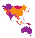
Colored detailed vector map of Asia Pacific Region
New England region of the United States, gray political map
Twenty Maps regionÃâ of Italy - alphabetical order with name. Every single map of region are listed and isolated with wordings
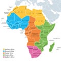
Africa regions map with single countries
Usa regional map
Vector map of the United States census bureau designated regions and divisions
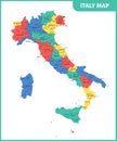
The detailed map of the Italy with regions or states and cities, capital
Detailed map of US regions, isolated states with names, Colorful infographics of the United States of America, vector illustration
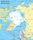
Arctic Region Political Map
Great Lakes Region of States - 3d Map
Region of Italy - Sicily
Arctic Region Map
Piedmont region in northwest Italy, political map
Piedmont region in northwest Italy, gray political map
Puget Sound region, U.S. state of Washington, political map
Lisbon Region, capital city of Portugal, gray political map
Venice Veneto region, Italy at dusk
Region of Italy - Sardinia
Tokyo Major Metropolitan Area, Capital Region of Japan, political map
Mountain states in the West region of USA, multi colored political map
West North Central states in the Midwest region of USA, multi colored map
West Africa region, political map
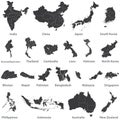
Vector set of asian maps with region borders, and also maps of Austealia and New Zealand
Taiwan vector map icon. Taiwan country map island region illustration
Map of North Brazilian Region
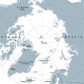
Arctic region, polar region around North Pole, gray political map
Next Page
←
↑
↓
→
See more images